
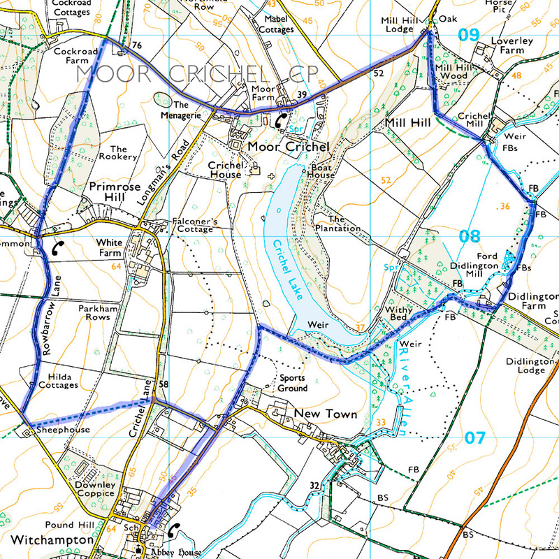
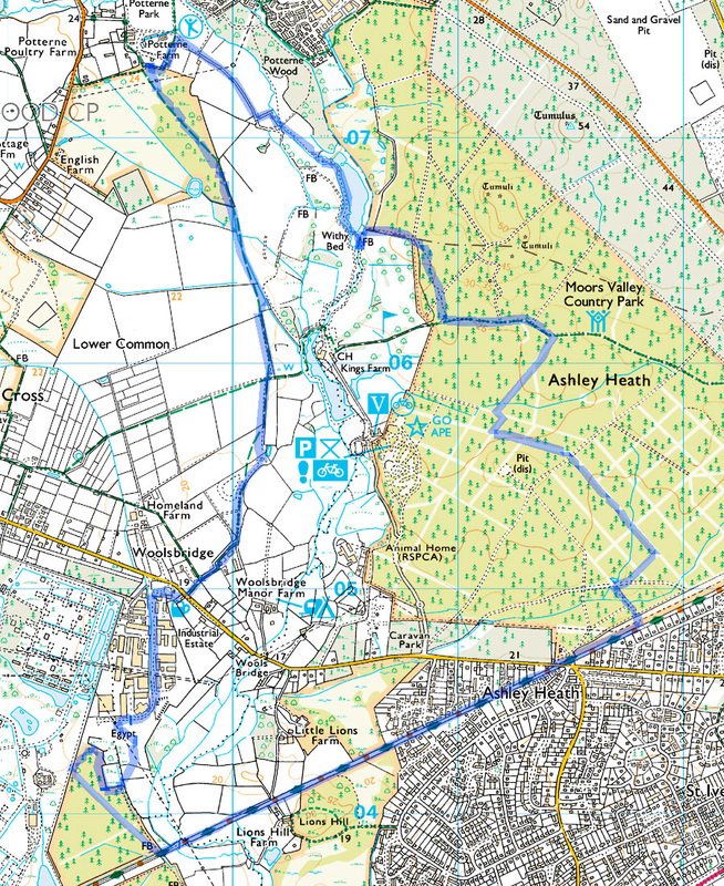
| Date: Location: Walk Leader: Participants: Distance: Parking: Lunch: | 21st September 2106 Witchampton Rob Rob, Clive, Ray 5.9 miles ? ? |
Write up courtesy of Rob Butcher.
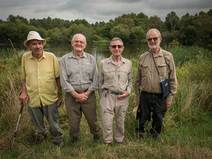
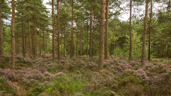
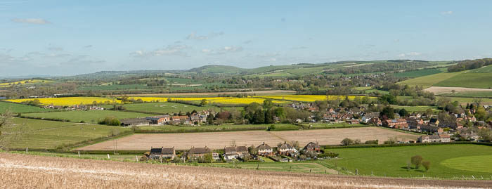
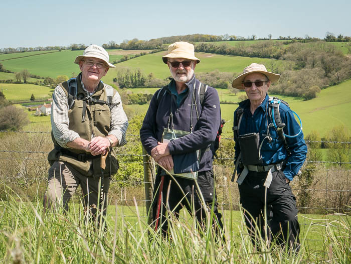
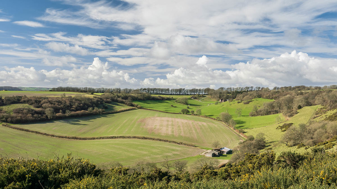
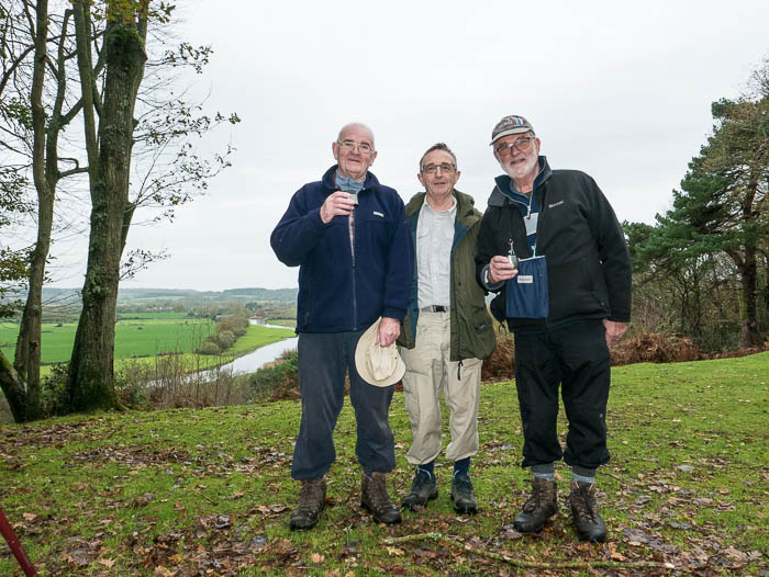
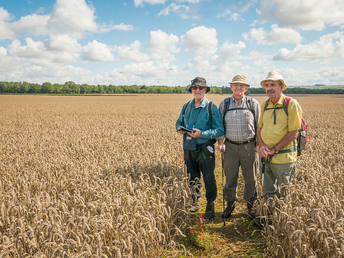
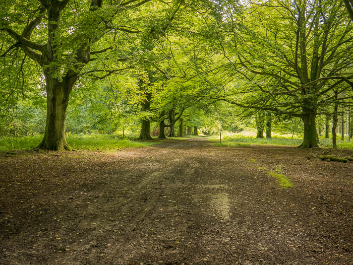
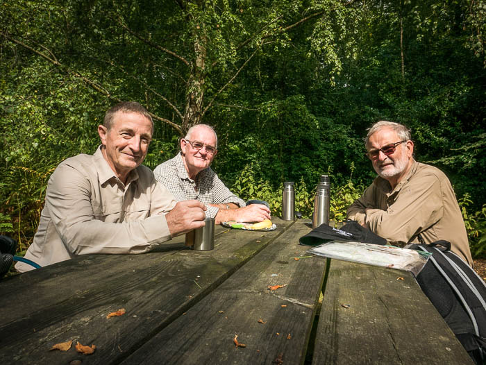
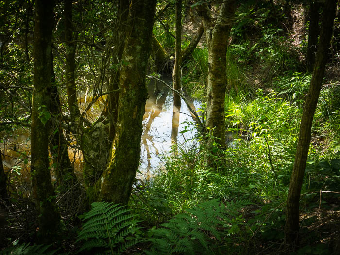
A fine day was had by the team (Clive, Ray and leader Rob). Lovely trout stream on the Crichel estate. Avenue of trees on the road into Moor Crichel is quite magnificent, what sights the accomplished leader brings to the eyes of his followers! Overall a bit too much tarmac but the quest for new routes is the spur that drives Rob on? (sic) Where Mr P. Shepheard is we know not.
Editors comment: If you read last weeks report you will not be surprised to find that this one is pretty brief too. I leave you to decide whether the self congratulatory comments are justified.


 RSS Feed