
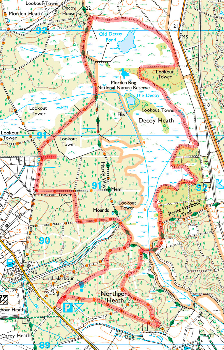
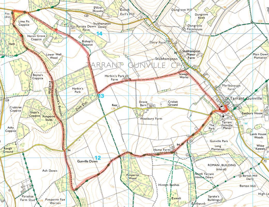
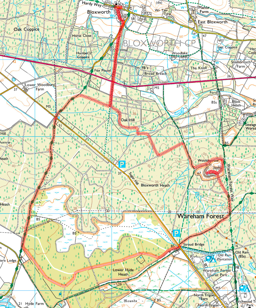
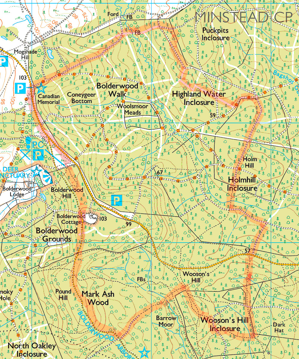
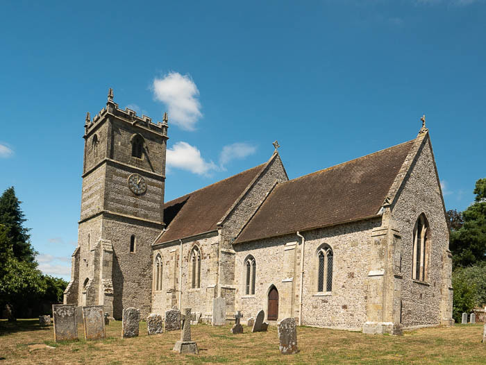
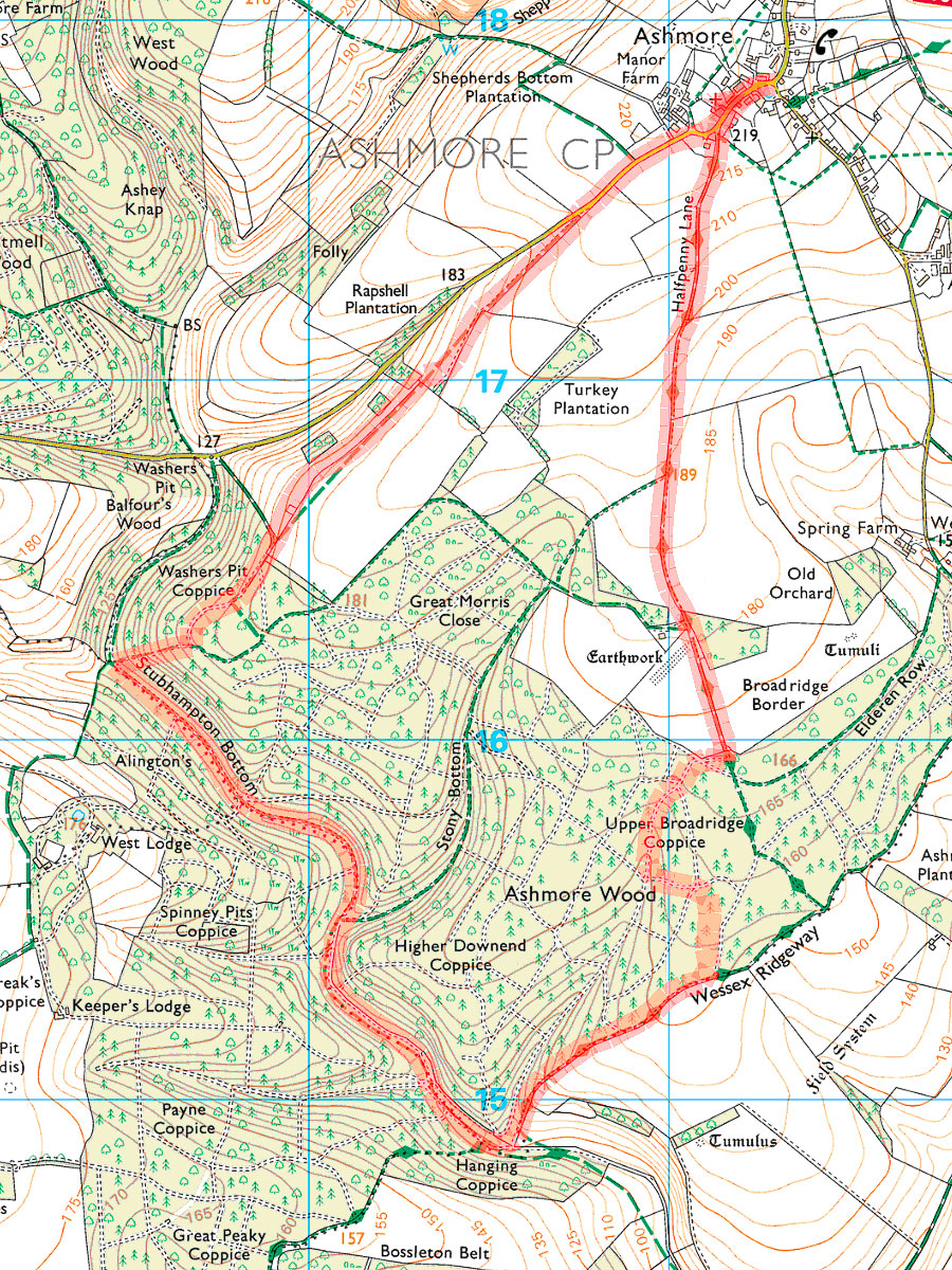
| Date: Location: Distance: Parking: Lunch: | 14 February 2019 Breamore 5 miles By St Mary's Church Bat and Ball |
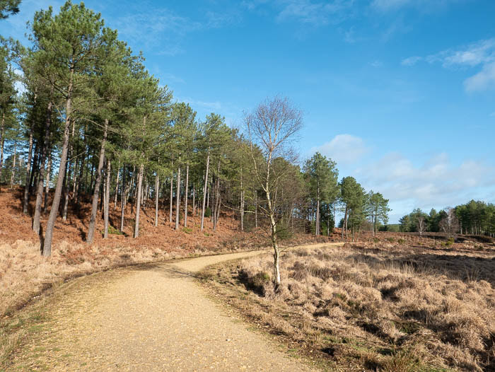
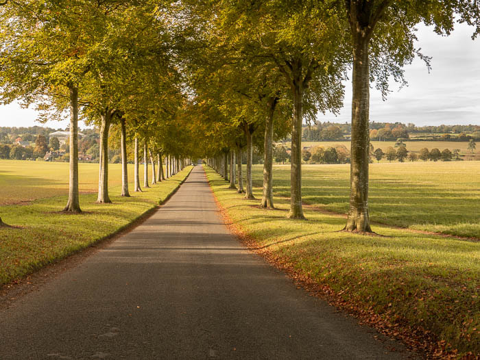
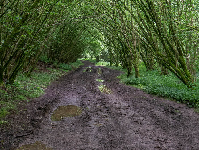
From the small parking area near the church we set out to do this walk in a clockwise direction meaning it’s all down hill towards the end.
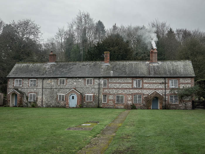
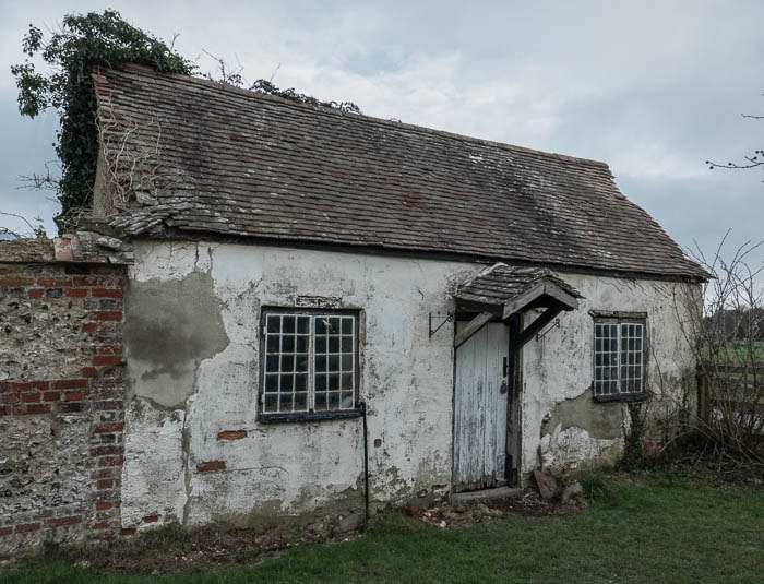
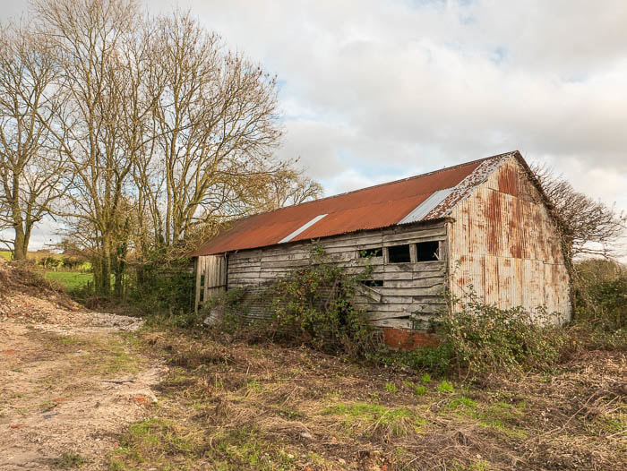
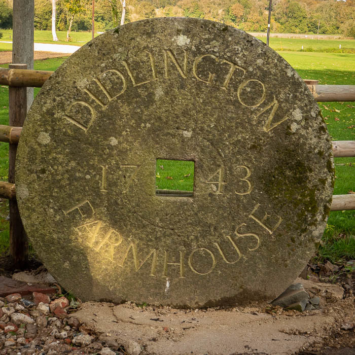
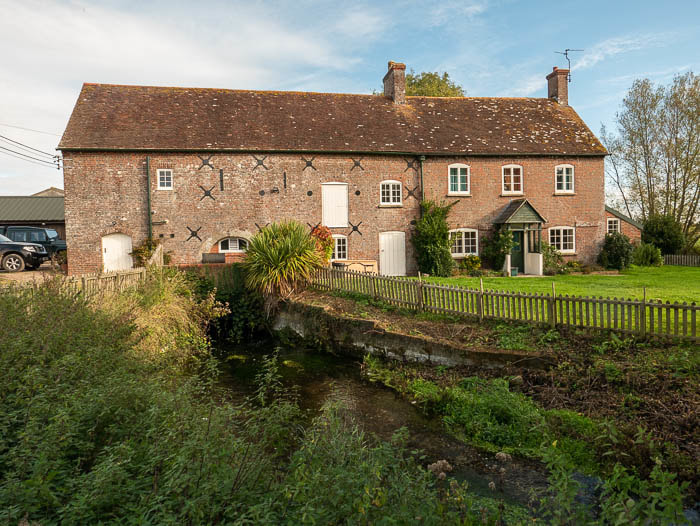
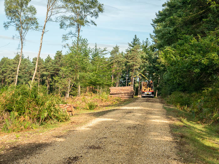
There is an old barn near the start of the track leading to Gravelhill copse and we were lucky enough to find the resident of the nearby cottage in his garden. He told us a little bit about the history of the barns and a grant for their restoration. Looking on the web for some additional information I came across this fascinating document about Breamore which was produced in 2000 and supported by The Millennium Awards for All programme. Certainly worth reading.
http://www.newforest.gov.uk/media/adobe/f/s/Breamore_VDS.pdf
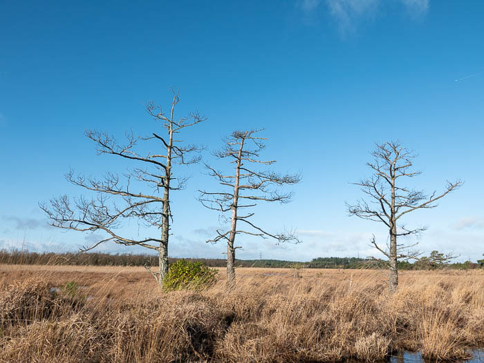
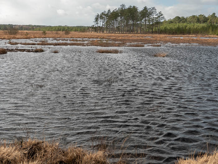
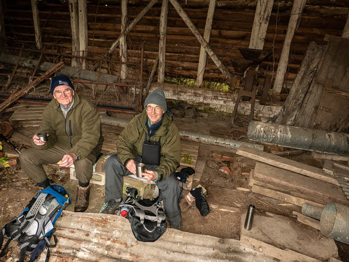
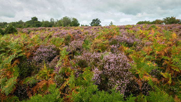
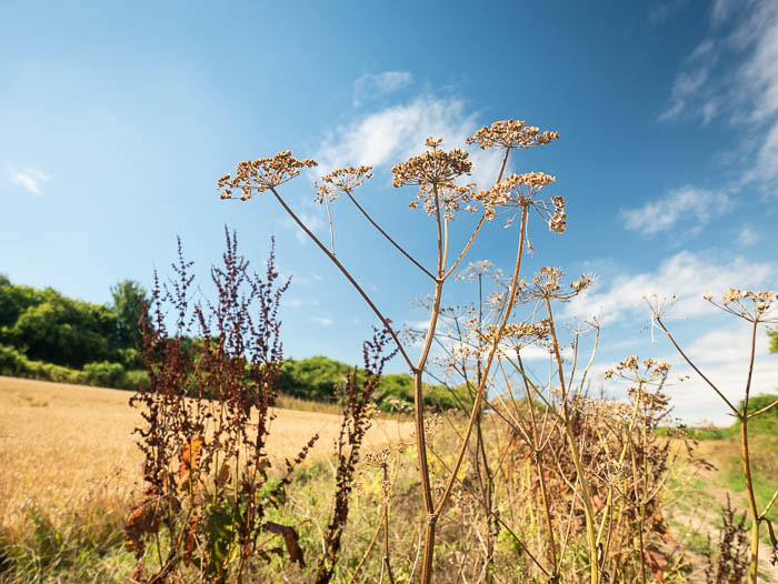
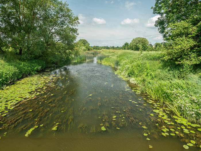
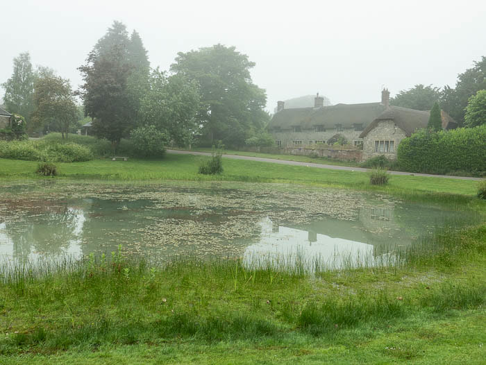
That provided a short break before the gentle but steady climb up to Whitsbury Wood. Looking back to the south west there was still a lot of mist hanging around but then there is a lot of water in that area.
There is an old barn near the start of the track leading to Gravelhill copse and we were lucky enough to find the resident of the nearby cottage in his garden. He told us a little bit about the history of the barns and a grant for their restoration. Looking on the web for some additional information I came across this fascinating document about Breamore which was produced in 2000 and supported by The Millennium Awards for All programme. Certainly worth reading.
http://www.newforest.gov.uk/media/adobe/f/s/Breamore_VDS.pdf
That provided a short break before the gentle but steady climb up to Whitsbury Wood. Looking back to the south west there was still a lot of mist hanging around but then there is a lot of water in that area.
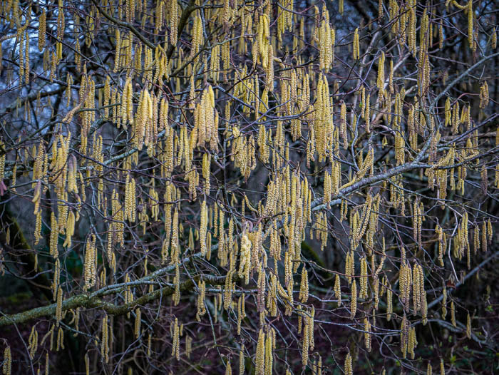
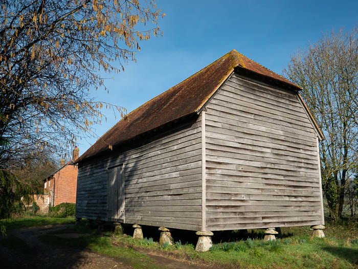 Renovated Barn | 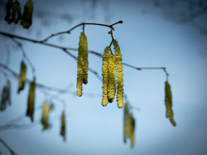 More Catkins! | 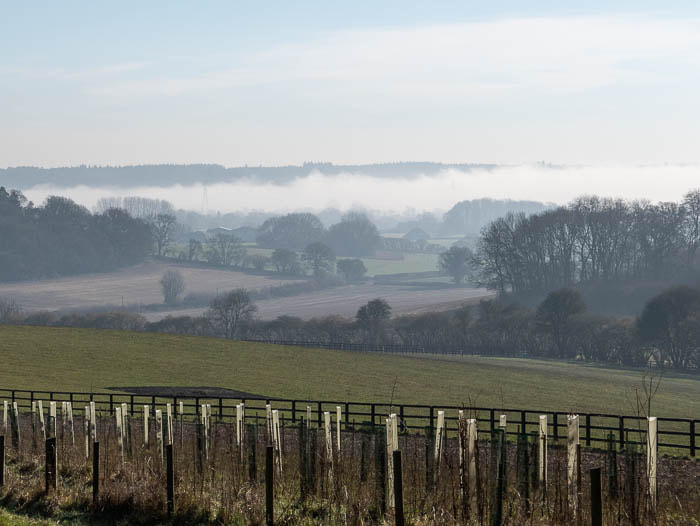 Late Mist |
We had a pleasant visit to St Leonard’s Church at Whitsbury and were amazed at the number of memorials to naval officers all from the same family.
We then, as on previous walks in this area, admired the beautifully kept grounds of the Whitsbury stud.
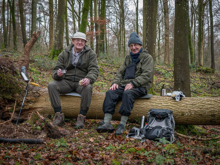
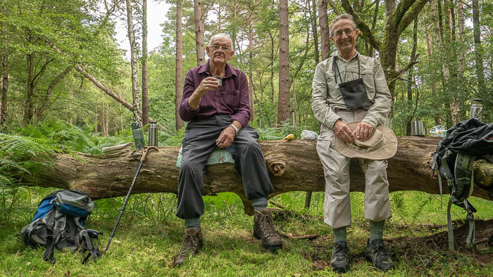
Not much further on we found a couple of straw bales that looked ideal for a quick refreshment break so we sat in the sunshine and Ray produced two custard tarts!
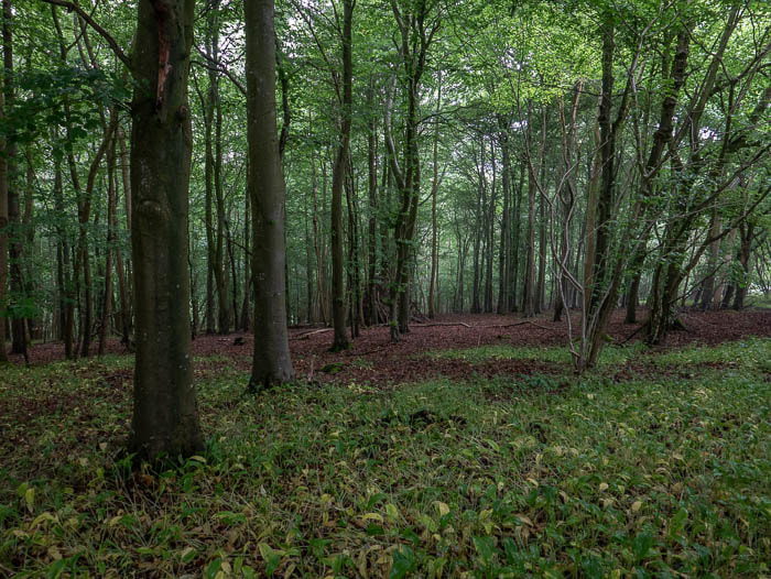
Rather surprisingly we had never before taken the short detour to see the Mizmaze so we decided to check it out this time and were very pleased we did. There is a short article about the Mizmaze on Wikipedia https://en.wikipedia.org/wiki/Mizmaze . There are apparently only 8 surviving historic turf mazes and just 2 of these are called Mizmazes.
We then, as on previous walks in this area, admired the beautifully kept grounds of the Whitsbury stud.
Not much further on we found a couple of straw bales that looked ideal for a quick refreshment break so we sat in the sunshine and Ray produced two custard tarts!
Rather surprisingly we had never before taken the short detour to see the Mizmaze so we decided to check it out this time and were very pleased we did. There is a short article about the Mizmaze on Wikipedia https://en.wikipedia.org/wiki/Mizmaze . There are apparently only 8 surviving historic turf mazes and just 2 of these are called Mizmazes.
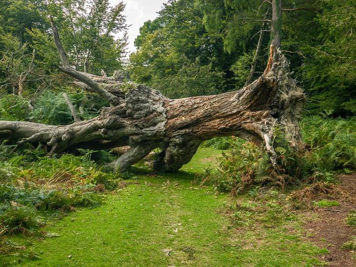
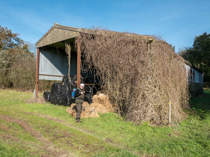 Home From Home | 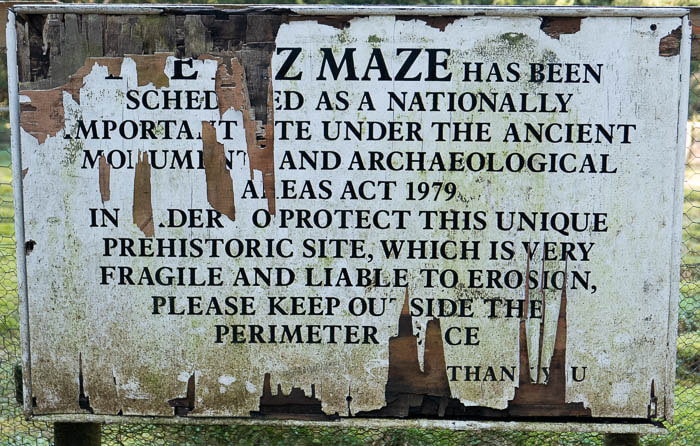 Another Ancient Monument | 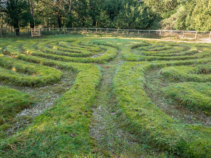 The Mizmaze |
From here it was a gentle down hill stroll back to the car.
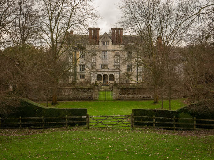
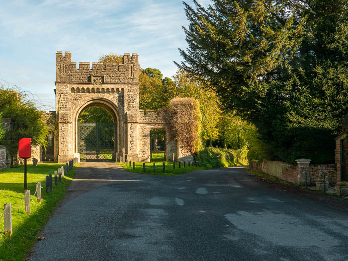
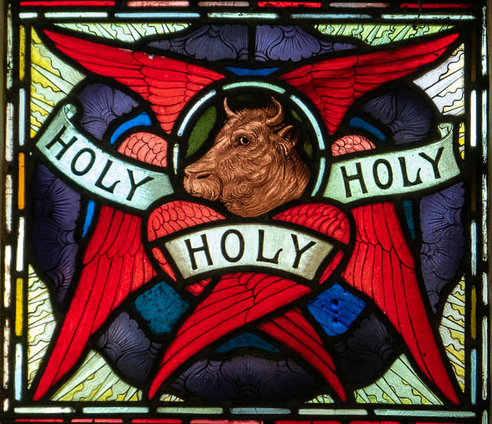
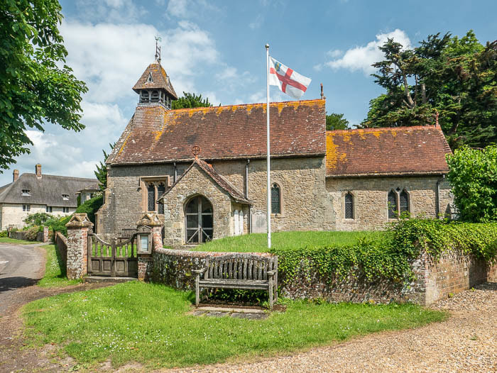
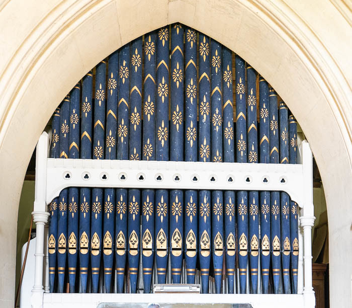
It is well worth visiting St Mary’s Church at Breamore either before or after this walk. It is considered one of the most historically important Saxon buildings in the south of England, probably founded by Ethelred 'The Unready', around 1000 AD.
It is well worth visiting St Mary’s Church at Breamore either before or after this walk. It is considered one of the most historically important Saxon buildings in the south of England, probably founded by Ethelred 'The Unready', around 1000 AD.
| This large rood dating from the Saxon era (a rood being a cross or crucifix symbolizing the cross on which Jesus Christ died) can be seen in the porch. https://www.britainexpress.com/attractions.htm?attraction=4543 The Bat and Ball provided excellent Liver and bacon casserole for lunch. | 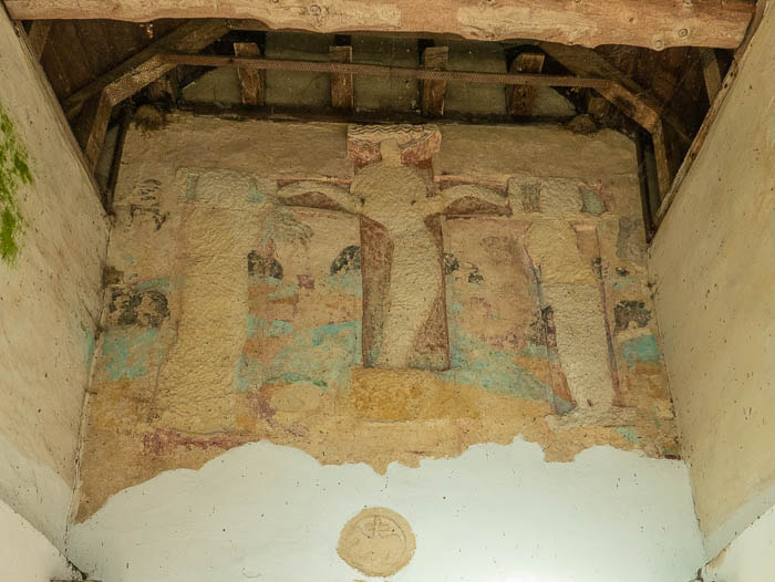 Saxon Rood |


 RSS Feed